Sky Map
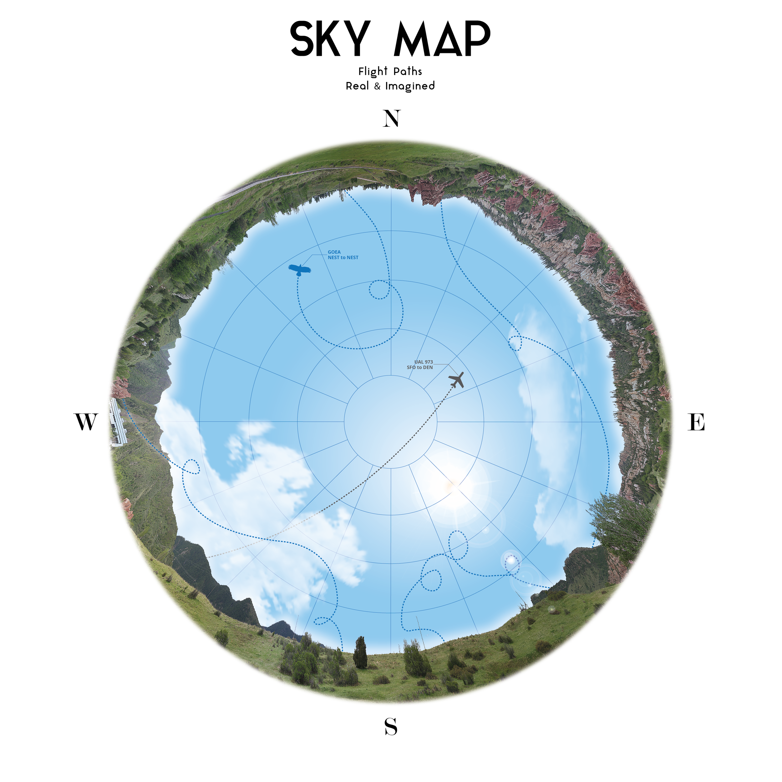
This visual takes an alternative approach to analyzing the flight paths of the federally-protected golden eagle (Aquila chrysaetos) over the iconic landscape of Colorado’s Front Range. These majestic raptors nest in rocky outcrops on many open space park lands, and utilize the surrounding landscape for hunting small mammals and other prey. By integrating modern GIS technology, mobile applications, graphic design, and in-field flight observations, we present a new approach to visualizing how golden eagles and other native raptors navigate the complex landscape. This product also has direct implications for land management and raptor conservation strategies.